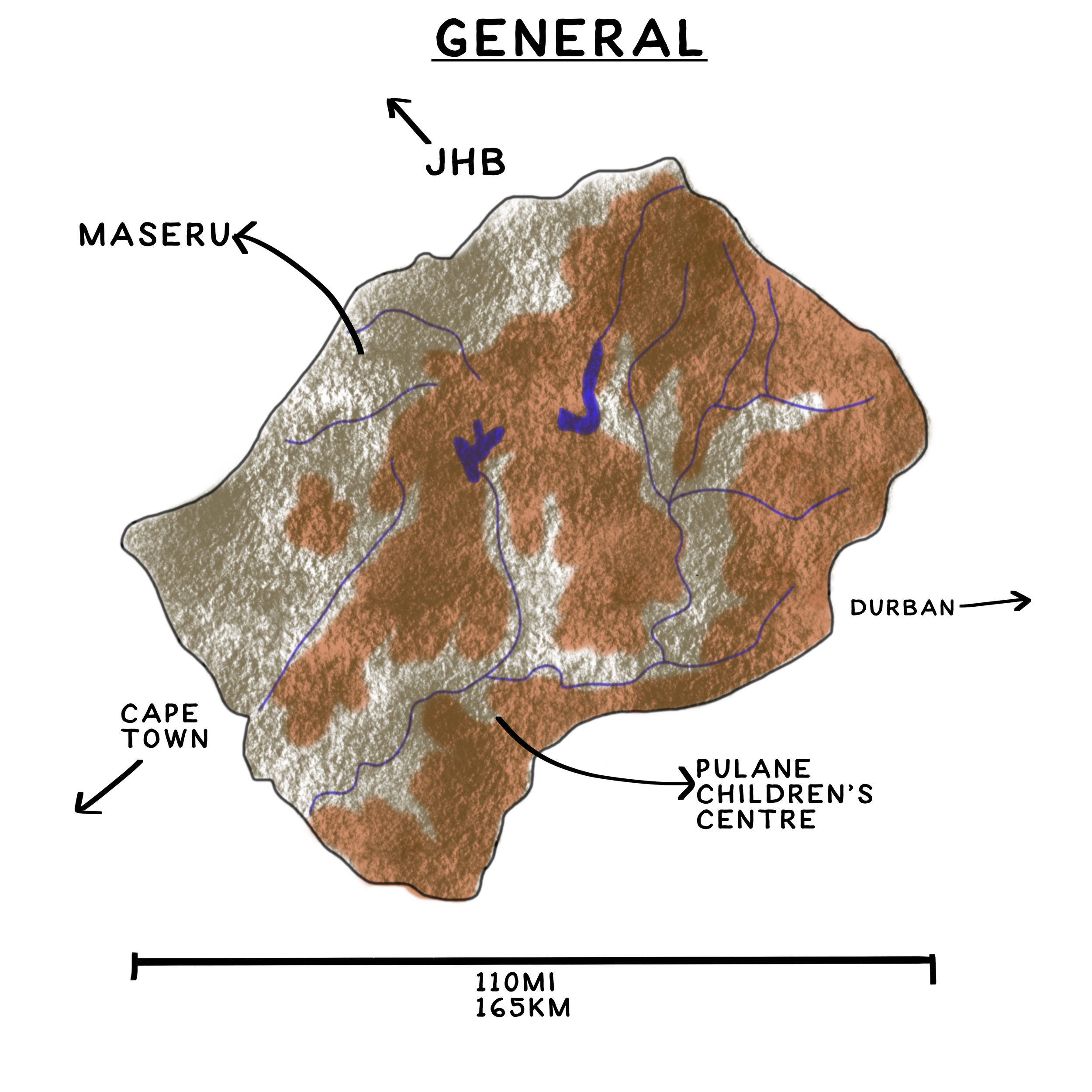
Lesotho is a small country, surrounded completely by South Africa.
So small in fact, that its only 110 miles across. But...
...there are mountains. And that makes driving pretty slow. So, it's a days drive across Lesotho, or a 35-40 min flight. The mountain range is the Maloti range, connected to South Africa's Drakensberg. The highest mountain in southern Africa is in Lesotho, Thaba Ntlenyane. In fact, it's the highest point in Africa South of Kilimanjaro. So, it's name appropriately translates to 'nice little mountain.'
The source of one of South Africa's biggest rivers, the Orange river, is also found in Lesotho. When the river is in Lesotho, it's called the Senqu. That 'qu' at the end is a click sound. Good luck saying that correctly. I can't.
Lesotho is divided up into 10 districts, each one with slightly different cultural nuances. Each district has a few unique qualities, and these are often portreyed on that districts blanket design.
Here's a look at where all the airstrips are located. As you can see by the two examples, they range from about a 20 minute flight, up to 40mins, depending on wind. Thats pretty quick, considering its days drive across the country.


